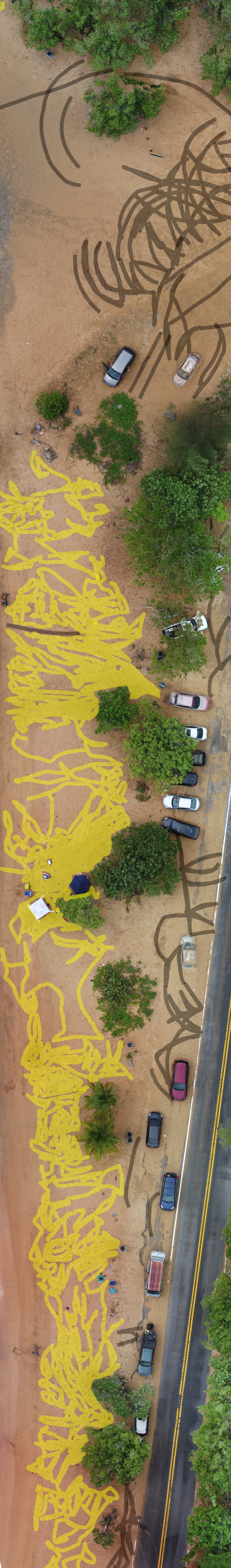
July 31, 2019 - Vacia Talega, Loiza
In this mosaic you can note a highly impacted and degraded dune literally adjacent to PR-187 which is the only escape route for hundreds of people during storms and tsunamis. You can note the marks of vehicles and foot traffic.
There are no views created for this resource yet.
Additional Information
| Field | Value |
|---|---|
| Data last updated | October 30, 2021 |
| Metadata last updated | October 30, 2021 |
| Created | October 30, 2021 |
| Format | .jpg |
| License | Other (Open) |
| Datastore active | False |
| Has views | False |
| Id | e3e75688-11ef-485a-af88-b48c05c27e24 |
| Mimetype | image/jpeg |
| Package id | bcddf375-2fdc-4439-aa5e-49215fd8bb8e |
| Position | 10 |
| Size | 1.9 MiB |
| State | active |
| Url type | upload |