march_07_2018_poza_de_teodoro_isabela_elevation...
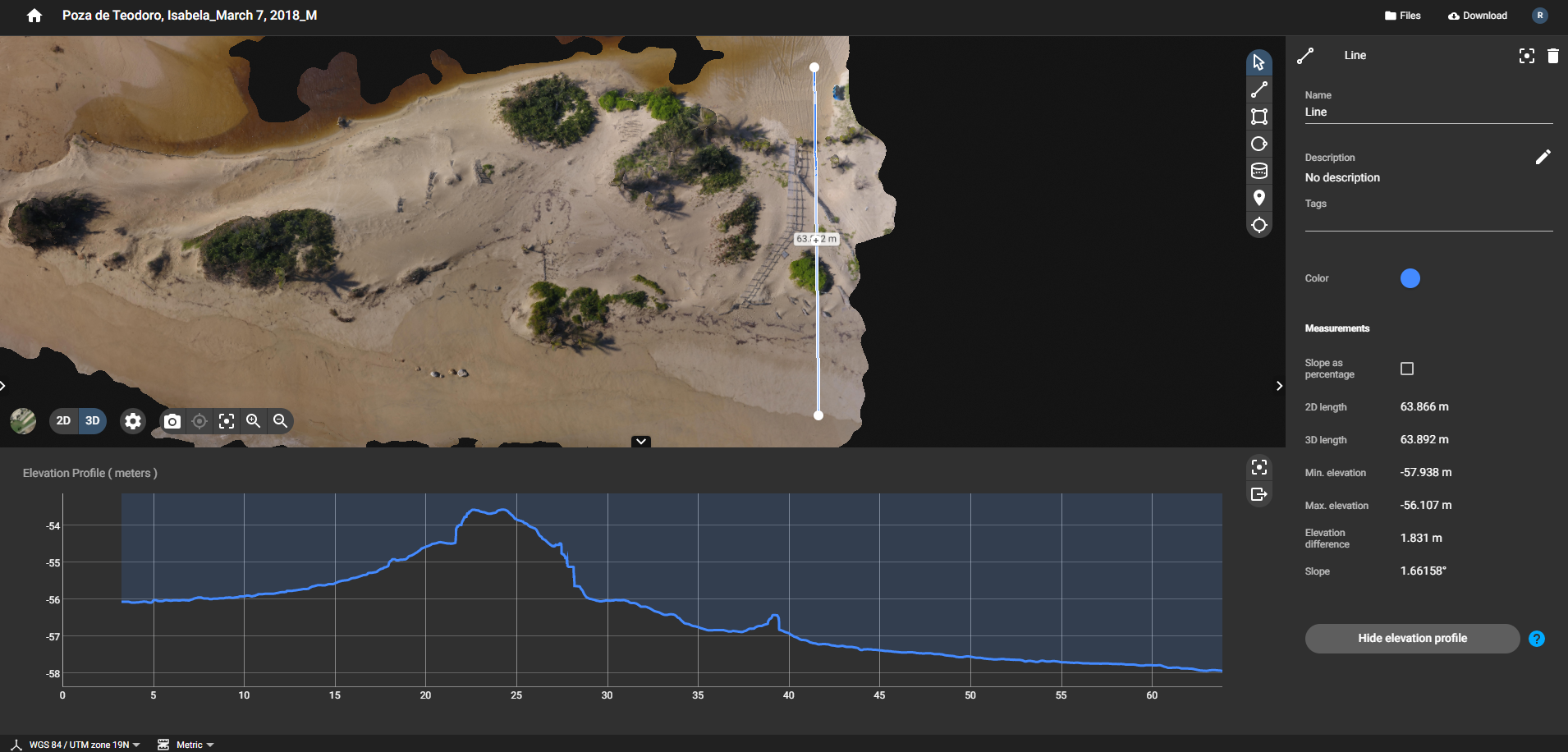
This is data for a pre-project 63 m long elevation transect starting on the shoreline parallel to a boardwalk that was installed in 2015. The geographical coordinate data are in UTM.
Additional Information
| Field | Value |
|---|---|
| Data last updated | November 8, 2021 |
| Metadata last updated | November 8, 2021 |
| Created | November 8, 2021 |
| Format | PNG |
| License | Creative Commons Attribution |
| Datastore active | False |
| Has views | True |
| Id | b808e326-7654-4e3c-85ec-3476f1a96b0c |
| Mimetype | image/png |
| Package id | 93037936-4bde-4361-8235-ff717685087b |
| Position | 11 |
| Size | 1.2 MiB |
| State | active |
| Url type | upload |